
Eastern Australia: Severe Storms Follow Queensland Downpours
Bureau of Meteorology warns of flash floods in four states after Queensland regions recorded up to 450mm of rain in seven days.
By Carmen Wojcik ·
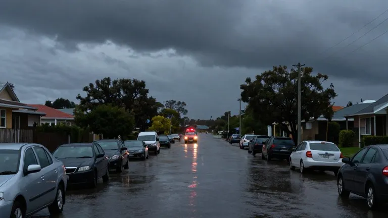
A wet week in Queensland sets the stage for a weekend of severe weather across eastern Australia. The Bureau of Meteorology (BoM) has issued warnings for severe thunderstorms, heavy rain, and flash flooding in South Australia, Victoria, New South Wales, and Tasmania. Nine active flood warnings remain in place for southern Queensland.
Senior BoM meteorologist David Crock stated that severe thunderstorms and heavy rain are expected in central and eastern Queensland on Saturday. Specific locations at risk include Rockhampton, Gladstone, Bundaberg, the Sunshine Coast hinterlands, and Roma. Crock noted that the south-east will receive substantial rainfall, adding to the heavy totals already recorded in Queensland.
The storm system will expand beyond the state border. Parts of Victoria, including Melbourne's eastern suburbs, and central and eastern South Australia face severe storms. In Tasmania, heavy rain is forecast to develop overnight into Sunday morning. A cold front is scheduled to cross New South Wales on Sunday, bringing severe thunderstorms to the state's west, north-eastern Victoria, Sydney, and Brisbane.
Crock described the threat as extending across eastern Australia, with severe storms likely throughout a wide area of inland eastern Australia. This forecast follows a period of extreme rainfall in Queensland where several areas received more than double their average October rainfall within days. The meteorologist characterized the conditions as more typical of January or February rather than late October.
Rainfall totals in the Sunshine Coast hinterlands and Caboolture ranged from 300mm to 400mm over seven days, with some areas reaching 450mm. Crock attributed the high totals to a persistent weather pattern that drew in large amounts of moisture over seven to 10 days across Queensland and northern New South Wales. The heaviest falls occurred on Thursday, when torrential rain stretched from Caboolture south to the Border Ranges.
On Thursday, some locations recorded well over 200mm of rain, causing flash flooding and triggering hundreds of calls for help to the State Emergency Service. Several schools closed on Friday in response to the weather. The Queensland fire department conducted more than 16 swift-water rescues during the event.
In one specific incident in Caboolture, crews used a raft to reach an elderly man who was clinging to the roof of his vehicle. The sequence of events moved from localized flooding in Queensland to a wider frontal system affecting four states over the weekend.