DOT, Parks Launch Planning for 15-Mile Bronx Waterfront Greenway
Officials invite residents to help design a continuous path from Randall's Island to Throggs Neck, funded initially by a federal grant.
By David Almasi ·
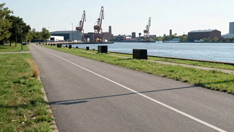
New York City residents in the East Bronx will begin deciding how to build a continuous 15-mile path along the shoreline this week. The proposed corridor links Randall's Island with SUNY Maritime College in Throggs Neck, creating a direct route for people walking and biking between southern Bronx neighborhoods.
The Department of Transportation, NYC Parks, and the Economic Development Corporation announced the start of public engagement on Oct. 26. This project is part of a wider effort to connect parks and employment centers across the city's outer boroughs.
City officials note that the Bronx currently contains six of the city's 15 designated greenway systems. These networks cover approximately 594 lane miles in total. Within the existing Bronx Waterfront system, officials identify about 25 lane miles of infrastructure, but these sections often do not connect to one another.
Currently, travelers must use neighborhood streets to move between different parts of the waterfront. Highways, industrial properties, and private developments frequently interrupt access to the shoreline. The new plan aims to fix these gaps by providing safer, continuous routes.
Some improvements have already taken shape. The city completed a bike boulevard on O'Brien Avenue between Leland and Stephens avenues, linking Soundview Park and Pugsley Creek Park. In Hunts Point, a $12 million reconstruction of Monsignor Raul Del Valle Square added pedestrian safety features and a bicycle connection to the waterfront.
However, the main 15-mile corridor is still in the planning phase. The Department of Transportation has not yet selected the specific streets it will use, set a construction schedule, or determined the exact route. The agency is asking residents to point out safety concerns and areas where new connections are needed.
The planning process will evaluate both minor changes, such as new signs and road markings, and larger construction projects that require separate funding. DOT Commissioner Mike Flynn stated that the city wants residents to influence the project before final plans are approved.
Council Member Amanda Farías, who represents the Soundview area, supported the initiative. She said a continuous 15-mile greenway would be an incredible addition to the borough by connecting waterfront communities to parks and jobs.
The project relies on a $7.25 million federal grant awarded to New York City in 2022. This funding supports the creation of implementation plans for six different corridors, not the construction of the entire network. The city aims to finish these plans by 2028, with construction depending on future funding.
The first public workshop for the Bronx Waterfront Greenway is scheduled for Wednesday, Nov. 4, from 6 to 8 p.m. It will take place at the BankNote Building, 1231 Lafayette Ave., in Hunts Point. A second virtual workshop is set for Thursday, Dec. 3, from 6 to 8 p.m. Residents can register at nyc.gov/greenways.